Mont Aero Sdn Bhd
MARINE COMMUNICATION

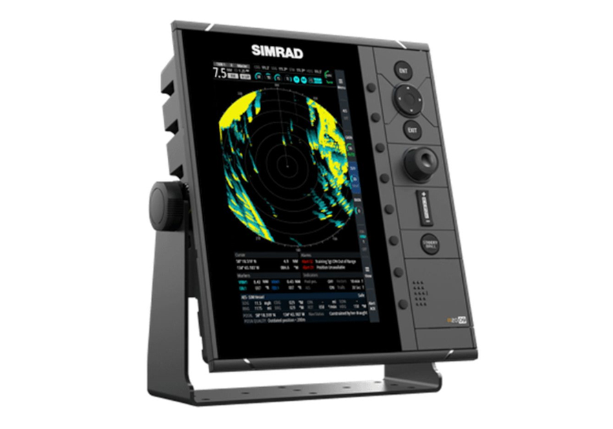
Radar

ECDIS

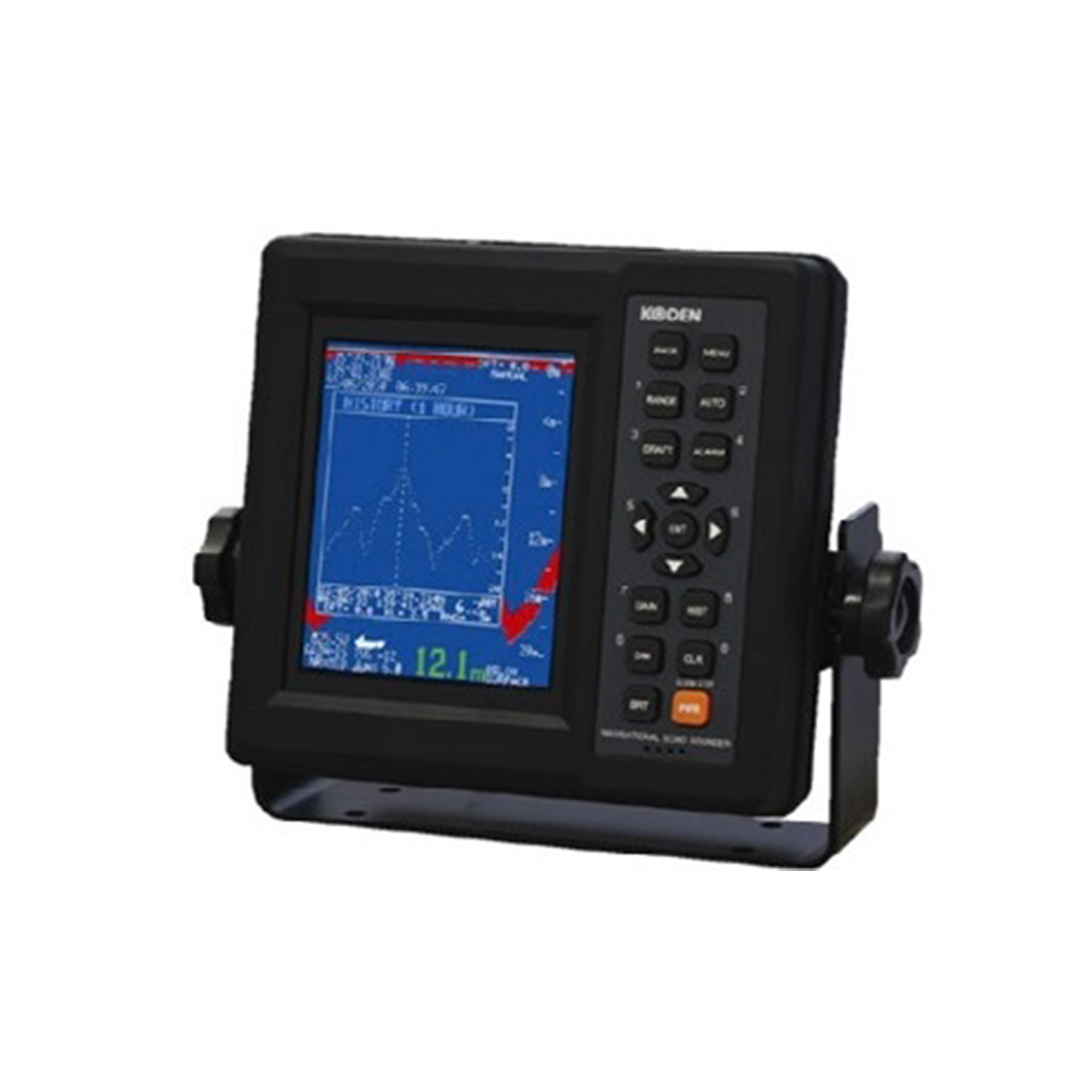
Echo Sounder

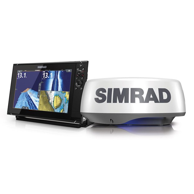
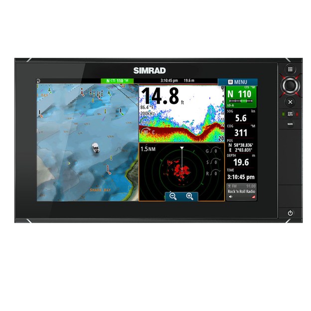
Chartplotter
Mont Aero Sdn Bhd
MARINE COMMUNICATION
Echo sounder is a device used to determine the depth of water by transmitting acoustic waves into water. The time interval between emission and return of a pulse is recorded, which is used to determine the depth of water along with the speed of sound in water at the time.

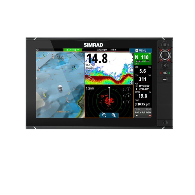

A device that integrates GPS data with an electronic navigational chart (ENC). The chartplotter displays the ENC along with the position, heading and speed of the ship, and may display additional information from radar, automatic information systems (AIS) or other sensors. As appropriate to particular marine applications, chartplotters may also display data from other sensors, such as echolocators or sonar.


An Electronic Chart Display and Information System (ECDIS) is a geographic information system used for nautical navigation that complies with International Maritime Organization (IMO) regulations as an alternative to paper nautical charts.


Radars are rarely used alone in a marine setting. A modern trend is the integration of radar with other navigation displays on a single screen, as it becomes quite distracting to look at several different screens. Therefore, displays can often overlay an electronic GPS navigation chart of ship position, and a sonar display, on the radar display. This provides a combined view of surroundings, to maneuver the ship.